Aerial & Mobile LiDAR Scanning
Aerial and Mobile Light Detection and Ranging (LiDAR) are at the forefront of surface laser technology as the preferred method for assessing, documenting, and monitoring large-scale infrastructure projects, including transportation, solar PV arrays, and dynamic coastal environments.
MERIDIAN ASSOCIATES' LiDAR capabilities augment Meridian's expert land surveying and scanning services to provide clients with the most advanced accuracy and data capture quality available for land surveying, mapping and laser scanning applications.
Our field operations, supported by our highly experienced Survey and Laser Scanning departments and data acquisition specialists, utilize a collection of post-processing software to assure the data collection meets all applicable spatial data standards.
| |
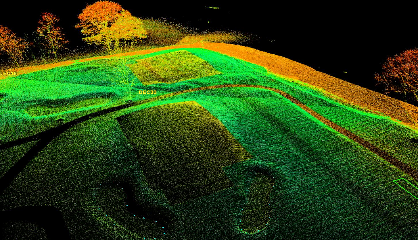
Aerial LiDAR
Led by our licensed UAS Pilots and field survey crews, our state-of-the-art UAS (Unmanned Aerial System) aerial drone combines lightweight, on-board survey grade GPS, a FOG inertial measurement unit, and a 32-laser Velodyne LiDAR scanner to capture highly accurate data at unparalleled collection rates. This simultaneously provides:
- Large, detailed datasets collected at 700,000 points per second capturing millions of 3D data points
- Optional high resolution aerial photography and infrared thermal imaging
- Efficient workflows to aggressively meet time-intensive project schedules
- Non-invasive practices that enhance site safety
Mobile LIDAR
Benefits
This survey approach benefits clients with overall cost savings due to schedule compression and the re-use of the data by multiple engineering disciplines for future projects. Additionally, mobile LiDAR:
- Captures High-Speed & Accurate Data Acquisition
- Increases Site Safety with Remote Operations
- Reduces Disruptions on Rail Systems & Roadways
- Reduces Costly Return Site Visits
- Delivers Full 3D Immersive Data
- 3D Design-Ready Deliverables